


Garmin
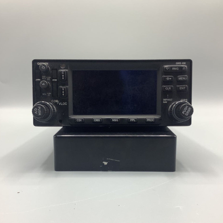
Garmin GNS 430W GPS/COM/NAV - PN: 011-01060-40
Couldn't load pickup availability
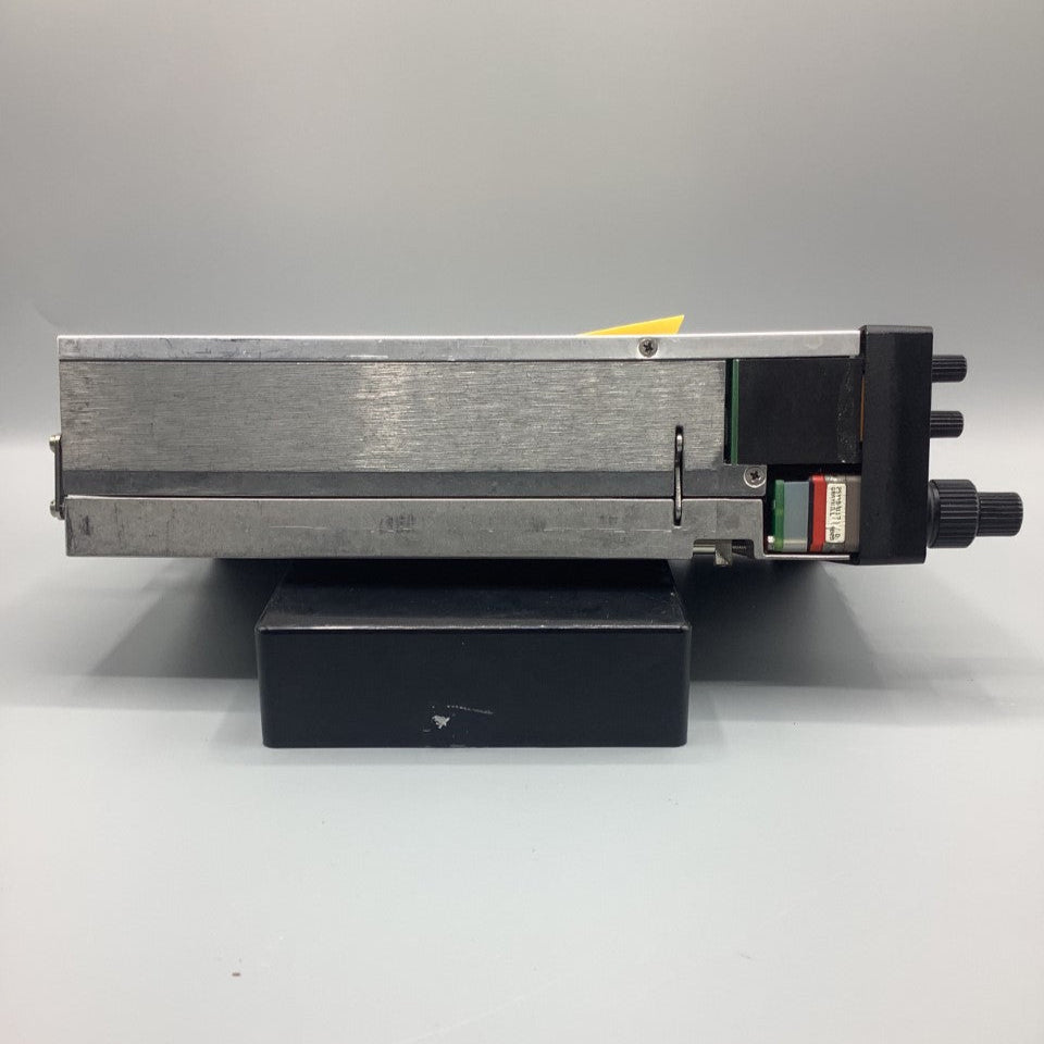
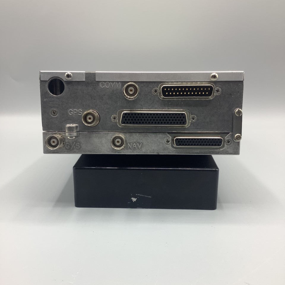
Please Note: As we have a large inventory of used Aircraft Parts, this is a file photo representative of the unit you will receive.
Please contact us if you need specific information (e.g., serial number or mod status) prior to purchasing.
All our products come with a 30-day money-back guarantee. If you are not satisfied, you may return the product for a full refund minus shipping costs.
NOTE: We can supply the rack, backplane and connector kit at no charge. Please request this if you need the install components. Antenna is not included but we have them if needed, just ask.
This serviceable Garmin GNS 430W is a versatile panel-mounted WAAS IFR GPS. It combines GPS navigation, VHF communication, and moving map graphics on a big color display. This "all in one box" 12-channel unit offers IFR WAAS GPS, ILS, VOR, LOC and glideslope capability in a single, space-saving package. Many boxes offer some of the same features as the GNS 430W, but it's the integration of so many functions that sets this latest aviation product apart.
The GNS430W features:
- Terrain database for terrain awareness is standard
- 12 or 24 volt aircraft
- WAAS GPS receiver allows for primary navigation and vertical guidance for LPV, L/VNAV, and LNAV+V approaches
- Combines 10 watt VHF communications transceiver, VHF navigation and UHF glideslope receivers, 12-channel GPS receiver with color moving map
- 760 channel VHF comm with 25khz spacing; software configurable for 2280 channels (8.33 kHz spacing) for Europe
- Provides both course deviation and optional roll steering outputs to aircraft flight guidance systems which will enable ARINC 424 lateral guidance procedures including IFR arrivals, departures and approaches
- Sends correct ATIS, approach, clearance, tower or ground control frequency to the comm radio at the touch of a button
- 16-color, active-matrix LCD measuring approximately 2" high and 3" wide with a resolution of 128 by 240 pixels
- Cartographic database displays geopolitical boundaries, federal interstate highways, state routes, major local thoroughfares, plus railroads, rivers, coastlines and lakes
- Can be interfaced to main indicators such as KI-202/203/204/206/208/208A/209/209A as well as KPI-552/553A
- Interfaces to ARINC 429 EFIS systems such as Sandel SN3308 and Bendix/King EFIS 40 & 50 RS-232 and RS-422 serial ports for interfacing
- ARINC 429 digital output (GAMA standard) for left/right analog course deviation, ng, encoded or greycode altitude, and basic fuel flow sensor links
- Fuel Flow page configurable to allow for simultaneous display of left and right engine fuel flows
- ARINC 429 digital output compatible with some autopilots which can accept ARINC 429 roll-steering information
- Accepts RS-232 fuel flow data from external sources
- TSO'd
- XM WX satellite weather service via GDL 69